| |
|
| |
| Changes
Over Time in the Plat of Cedar
Creek Township, Particularly Sec. 28 | |
|
PARKS, JOSEPH T32N, R13E, S28 & 33 - 2.04 EAST RESERVE, JOSEPH PARKS - NW BOUNDARY | |
| | |
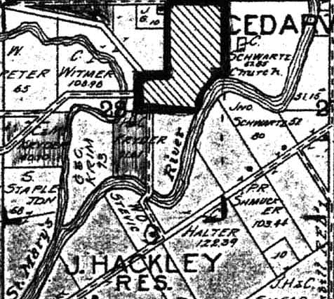
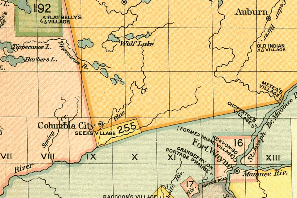
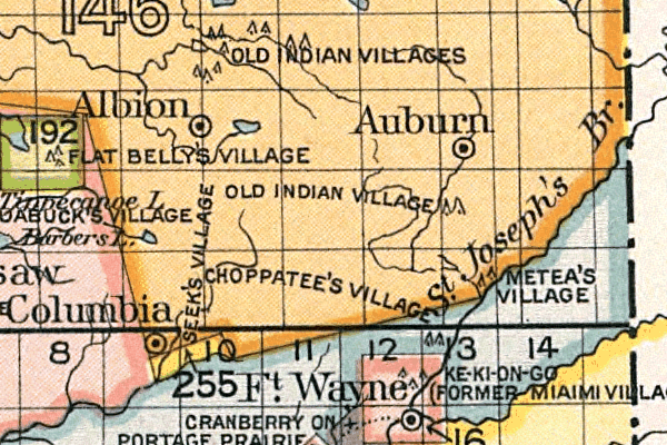
| Historical accounts state that Sec. 28 was once entirely an Indian Reservation over which was platted the town of Cedarville. The 1864 Plat of Sec 28 in Cedarville, shows that Clarence Kryder's father, Harrison W. Kryder, married (in 1860) to Mary Ann Treace, a Chief's daughter, occupied the parcel of land (left)on the confluence of the St. Joseph's Branch of the Maumee River and Cedar Creek. The J. Krider on the right shaded parcel was Clarence's grandfather John III, a Justice of the Peace, married to Eliza Peppel. |
 | ||||||||||
|
The 1905 Plat of Sec 28 in Cedarville shows that Clarence and Minnie Kryder occupied the 40 acre parcel of land on the left bank of the St. Joseph River while Krims had the right. Next door was Harrison and Clyde (Clarence's brother) Kryder's spot. Clyde Kryder was married to Daisy Maxfield. In the late 1940's a Deed of Easement from Clyde to the electric company was returned to Clarence for safekeeping.
| ||||||||||
Site by Leigh M. Fulghum
estate@frankkryder.com
2001

